Skydel GNSS Simulation Software
Advanced Simulation with Modern, Software-based Flexibility
Safran’s advanced Skydel GNSS software is more flexible, scalable, customizable, upgradeable, and cost-effective compared to traditional FPGA-based simulators.
The way the world thinks about GNSS simulation today is not the same as even a few years ago, thanks to leaps in technology with software-defined radios and COTS components.
Safran’s Skydel Simulation Engine offers the best of both worlds: high-end performance you expect from a top-grade GNSS simulator, coupled with the economy of scale and flexibility of using your own hardware with its GNSS software architecture.
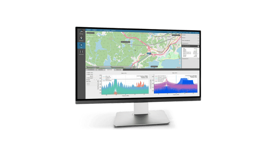
Packed with a rich feature set including a 1000 Hz simulation iteration rate, remote control from user-defined scripts, and a software-defined architecture, Skydel offers unmatched flexibility and scalability.
And all of this, packaged in a modern, streamlined user interface – with an almost unlimited number of signals. Skydel offers real-time GNSS simulation of the highest quality.
Want to become a Skydel and simulation expert? Take our globally-recognized GNSS Simulation courses.
ADVANTAGES
-
All Constellations, All Signals
-
Integrated Jamming & Spoofing
-
Open Source Plugins & Community
-
Powerful Automation
-
Software-Based Design
USE CASES
CASE STUDIES
REQUEST A QUOTE
FEATURES
- Supports all major global constellations & frequencies (GPS, GLONASS, Galileo, BeiDou, QZSSQZSS is a regional satellite system in the Asia/Pacific Region. Developed and maintained by the Japanese government, this satellite constellation provides similar services as GPS: location, navigation and timing., NavIC)
- Multi-constellation, multi-frequency
- 1,000 Hz iteration rate
- Multi-vehicle & multi-antenna simulation
- Satellite orbit modification and custom support (LEOLEO - Low Earth Orbit. LEO refers to the orbit that most artificial satellites travel within. LEO is closer to earth compared to other satellite constellations such as GPS and GEO satellite systems. LEO is approximately 1,200 miles above Earth or less, meaning the satellites in this orbit travel at high speeds (i.e. 15,000 mph) and can orbit the Earth in less than 2 hours. Most human spaceflight missions have ocurred within LEO. constellations)
- Advanced jamming and spoofing simulation
- Import multiple file formats CSV, KML, NMEA etc
- 6 DoF and orbital trajectories
- User-defined waveforms
- Hundreds of satellites can be simulated in real time using COTS hardware
- IQ file generation and playback
- Comprehensive API: (Python, C++, C#)
- Integrate interface with no additional hardware
- Record and export user interactions as Python script
- Modify parameters and variables in real-time
- Signal customization
- Advanced scenario creation
- Intuitive UI and automation
SPECS
- Frequency Bands
- All GNSS bands
- Multiple RF outputs depending on SDR configuration
- Baseband complex (zero IF) through IQ samples logging
- Operating Systems: Linux & Windows
- GNSS Constellations and Signals:
- GPS: L1-C/A, L1C, L1-P, L2-P, L2C, L5;
- NavIC L5;
- GLONASS: G1, G2;
- Galileo: E1, E5a, E5b, E6, E6PRS, E6 HAS, E5AltBOC, PRS-Noise, HAS-Noise;
- BeiDou: B1, B2, B1C, B2A, B3I;
- QZSS: L1-C/A, L2C, L5
- SBAS: WAAS, EGNOS, MSAS, GAGAN, SDCM
- Custom Signals
- Signal Accuracy
- Pseudorange < 1mm
- Pseudorange rate < 1mm/s
- Inter-channel bias 0


Skydel
GNSS Simulation